KLIC Data and ArcGIS: The Foundation for Safe Underground Operations
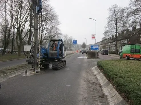
At MH Poly Consultants & Engineers, spatial and subsurface challenges are part of our daily work. A crucial aspect of every soil investigation project is identifying the location of underground utilities before drilling or excavation begins.
Through a KLIC notification, MH Poly receives official underground utility data from the Dutch Cadastre (Kadaster). Since 2021, this information has been efficiently processed using KLIC Import (Xchange4s) and seamlessly integrated into Esri’s ArcGIS platform.
This integration ensures that all relevant geospatial information is available within a single, centralised GIS environment.
Planning Phase: Smarter and Safer Borehole Planning
Integrating KLIC data into ArcGIS provides engineers with a complete and up-to-date overview of underground infrastructure. This enables them to:
- prepare safe and practical borehole plans
- minimise the risk of damaging underground cables and pipelines
- improve project planning and efficiency
The result is better coordination between design, execution and safety.
Field Operations: Real-Time Insight On Site
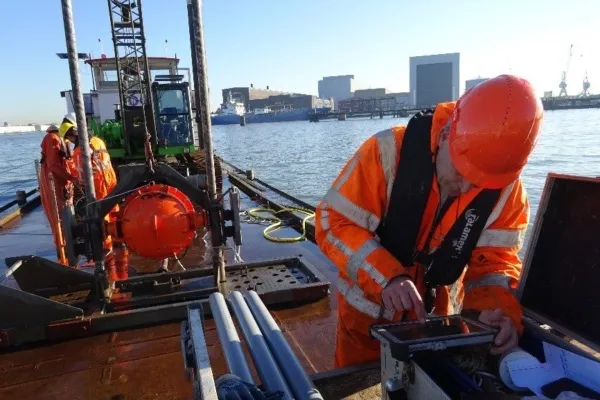
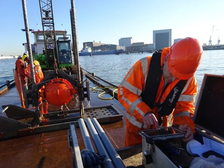
During field investigations, MH Poly’s survey teams use ArcGIS Field Maps to access real-time project information, including:
- underground cable and pipeline data
- borehole locations
- project information and digital field records
This digital workflow ensures that field engineers always have access to the latest and most complete information, resulting in:
- more efficient field operations
- improved communication between office and field teams
- reduced project risks and failure costs
Reporting Phase: Turning Data into Valuable Insights
Once the soil investigation has been completed, the collected data is processed directly within ArcGIS.
Instead of traditional reports containing static tables and drawings, MH Poly delivers:
- interactive maps displaying borehole locations and laboratory results
- clear visual insights that are easy for clients to interpret
- online GIS-based information products that can be shared with project stakeholders
This transforms reporting into a valuable decision-support tool rather than simply a technical deliverable.
Integrated Collaboration and Design Optimisation
The ArcGIS platform enables seamless collaboration between MH Poly’s various disciplines, including:
- Environment & Spatial Planning
- Hydraulic Engineering & Infrastructure
- Industry & Structural Engineering
Designs can also be assessed directly within their spatial context, allowing potential conflicts with underground utilities or soil quality issues to be identified and resolved at an early stage.